Australian Towns & Cities
New South Wales: Ulladulla
Incorporating photos and Information
from Michael Greenslade's former Australian Towns, Cities and Highways
site
Ulladulla is a popular south coast town on the Princes Hwy between Nowra and Batemans Bay.
The town offers a safe inlet beach which is a kilometre or so from the exposed coastline as well as an excellent surf beach to the north in Mollymook. In the area is Pidgeon House mountain, historic Milton to the north and an old refurbished lighthouse on Warden Head. Ulladulla is an impressive town, with its main street built on a steep slope around the Princes Hwy.
- Population: 13 054 1
- Postcode: 2539
- Location: 237 km south of Sydney
- Main Roads: Princes Hwy A1
- Radio Stations: FM:
2ST (106.7 MHz), ABC Classic (101.9 MHz), ABC Illawarra (97.3 MHz), ABC News on Radio (100.5 MHz), ABC South East NSW (103.5 MHz), Power FM (94.9 MHz) and Triple J (98.9 MHz). AM: ABC RN (603 kHz)
View Larger Map
 |
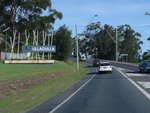
Entering Ulladulla:
Princes Hwy (A1) as it enters the town of Ulladulla, January 2013.
Image © Michael Greenslade
|
 |
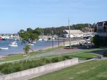
Ulladulla Harbour:
View over Ulladulla Harbour, January 2013.
Image © Michael Greenslade |
 |
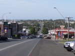
Ulladulla Town Centre:
View of Princes Hwy (A1) as it passes southbound through the Ulladulla town centre, November 2010.
Image © Paul Rands |
 |
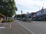
Ulladulla Town Centre:
View of Princes Hwy (A1) as it passes through the Ulladulla town centre, January 2013.
Image © Michael Greenslade |
 |
Ulladulla Town Centre:
View of Princes Hwy (A1) as it passes through the Ulladulla town centre, January 2013.
Image © Michael Greenslade |
1 Australian Bureau of Statistics, 2016 Census QuickStats
Last updated: 21-Aug-2020 23:12
This site ©
Paul
Rands. All rights reserved. Some portions © (copyright) by their
respective and credited owners. Permission must be obtained before using
any images from this site. For details, please email by clicking
here.