| |
| |
 |
Illawarra Hwy / Terry St / Tongarra Rd
Intersection:
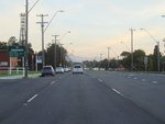
Eastbound in Albion Park on Illawarra Hwy (NR48) as you approach the
intersection with Terry Street and Tongarra Road (SR157). May 2007.
Image © Paul Rands
|
|
 |
Distance Sign:
RD sign on Lake Entrance Rd (SR157) at
Warilla, near Belfast Av, June 2010.
Image © Paul Rands
|
 |
Distance Sign:
Eastbound RD sign after the Illawarra Hwy / Terry St junction in Albion
Park. May 2007.
Image © Paul Rands
|
|
 |
Captain Cook Drive:
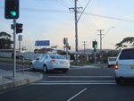
Corner of Lake Entrance Rd (SR157) and
Capt
Cook Dr in Barrack Heights, June 2010.
Image © Paul Rands
|
 |
Frazers Creek:
Eastbound over Frazers Creek at Albion Park, May 2007. The creek was
named after local farmer William Fraser, who lived near the creek.
Image © Paul Rands
|
|
 |
Madigan Blvd Junction:
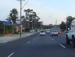
Westbound on Lake Entrance Drive at Mt Warrigal, is this old Hospital
sign using the old symbol to denote a hospital - the letter "H". June
2010.
Image © Paul Rands
|
 |
Passing Illawarra Regional Airport:
Eastbound as you pass Illawarra Regional Airport between Albion Park
and Albion Park Rail, May 2007.
Image © Paul Rands
|
|
 |
AD sign:
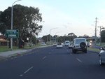
Advance directional sign on Lake Entrance
Rd (SR157) approaching Wattle Rd in Barrack Heights, June 2010.
Image © Paul Rands
|
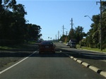 |
Tongarra Road Albion Park Rail:
Eastbound outside Albion Park Rail Public School. May 2007.
Image © Paul Rands
|
|
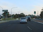 |
Wattle Road:
Corner of Lake Entrance Rd (SR157) and
Wattle Rd at Barrack Heights, June 2010.
Image © Paul Rands
|
 |
Advance Directional Sign:
Eastbound AD sign approaching Princes Highway at Albion Park Rail. The
NR1 duplex starts from this intersection, May 2007.
Image © Paul Rands
|
|
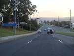 |
Approaching College Av:
Lake Entrance Rd (SR157) approaching
College Av at the Shellharbour City Centre, June 2010.
Image © Paul Rands
|
 |
Princes Hwy Intersection:
Eastbound on the corner of Tongarra Road (SR157) and Princes Highway
(NR1 / SR157) at Albion Park Rail, May 2007.
Image © Paul Rands
|
|
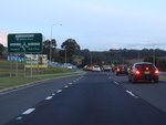 |
Advance Directional Sign:
AD sign on Lake Entrance Rd in Blackbutt, approaching Pioneer Dr, June 2010.
Image © Paul Rands
|
 |
Advance Directional Sign:
Eastbound AD sign on Lake Entrance Road as you approach the Wattle Road
intersection at Mount Warrigal, May 2007.
Image © Paul Rands
|
|
 |
Advance Directional Sign:
AD sign on Lake Entrance Rd (SR157) approaching the interchange
with Princes Hwy (NR1) and Northwest Link, June
2010.
Image © Paul Rands
|
 |
Entering Warilla:
Eastbound on Lake Entrance Road as you enter Warilla, May 2007.
Image © Paul Rands |
|
 |
Intersection Directional Sign:
ID sign at the corner of Princes Hwy (NR1)
and Tongarra Rd (SR157) at Albion Park Rail, June 2006.
Image © Paul Rands |
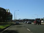 |
Advance Directional Sign:
AD sign as you approach the eastern terminus of SR157, Shellharbour
Road, at Warilla, May 2007.
Image © Paul Rands |
|
 |
Intersection Directional Sign:
ID sign at the corner of Princes Hwy (NR1)
and Tongarra Rd (SR157) at Albion Park Rail. June 2010.
Image © Paul Rands
|
| |
|
|
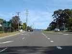 |
Distance Sign:
RD sign on Tongarra Rd (SR157) at Albion Park Rail,
June 2010.
Image © Paul Rands
|
| |
|
|
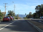 |
Start Tourist Drive 8:
Beginning of TD8, Tongarra Rd in Albion Park,
June 2010.
Image © Paul Rands
|
| |
|
|
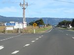 |
Croome Road:
Corner of Tongarra Rd and Croome Rd in Albion Park Rail, June 2010.
Image © Paul Rands
|
| |
|
|
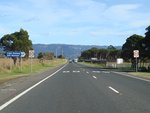 |
Railway Museum Entrance:
Tongarra Rd at the entrance to the railway museum at Albion Park Rail, June 2010.
Image © Paul Rands
|
| |
|
|
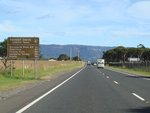 |
RD sign:
Reassurance directional sign for TD8
(which is duplexed with SR157 along Tongarra Rd, June 2010.
Image © Paul Rands
|
| |
|
|
 |
Entering Albion Park:
Tongarra Rd (SR157) as it enters Albion
Park, June 2006.
Image © Paul Rands |
| |
|
|
|
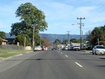
Entering Albion Park:
Tongarra Rd (SR157) as it enters Albion
Park, June 2010.
Image © Paul Rands
|
| |
|
|
 |
SR157 End:
Terminus of SR157: corner of Terry St and
Illawarra Hwy (NR48) at Albion Park, June 2010.
Image © Paul Rands
|
| |
|
|
 |
SR157 End:
Terminus of SR157: corner of Terry St and
Illawarra Hwy (NR48) at Albion Park, June 2010.
Image © Paul Rands
|


